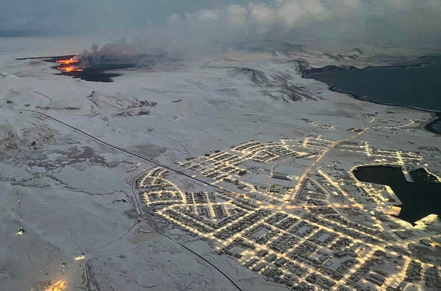
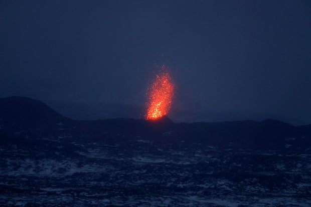
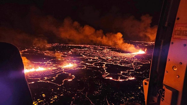
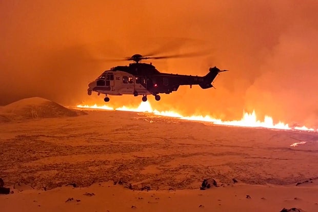
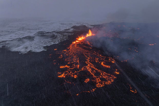
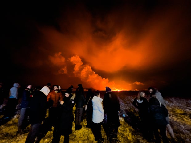
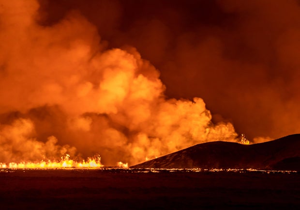
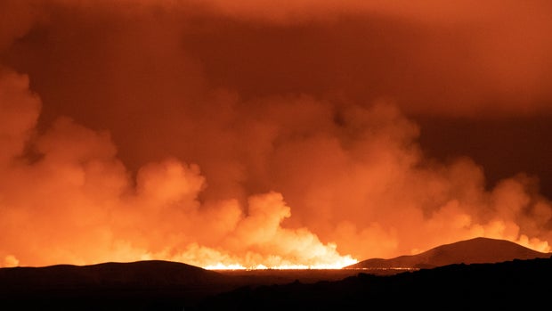
A volcano in southern Iceland, near Grindavik, began erupting in spectacular fashion Monday night following weeks of warning signs, including thousands of earthquakes.
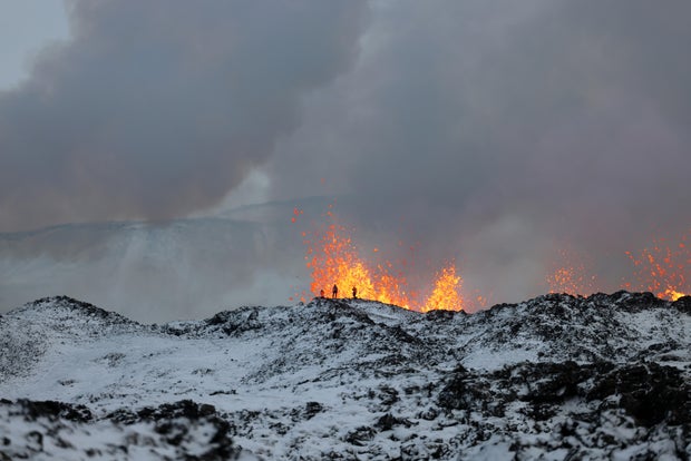
Iceland’s Meteorological Office said the eruption opened an approximately 2.5-mile-long fissure and created lava fountains up to 98 feet high.
Last month, the 3,400 residents of the fishing village of Grindavík, the town nearest the volcano on Iceland’s Reykjanes Peninsula, were evacuated in anticipation of the pending eruption.
The meteorological office reported Tuesday that the southernmost point of the erupting volcano was about 1.86 miles from the town, and that the eruption’s intensity was weakening. The lava also appeared to be flowing away from Grindavík.
There had been concerns an eruption could last weeks, but on Thursday morning, Iceland’s meteorological office said “no volcanic activity was observed” and that it appears “as though there is no activity in the craters.”
Here are some of the extraordinary images of the eruption:
VIKEN KANTARCI/AFP via Getty Images
Jeff J Mitchell / Getty Images
Jeff J Mitchell / Getty Images
ICELAND POLICE DEPARTMENT/Anadolu via Getty Images
Getty Images
Icelandic coast guard via AP
Marco Di Marco / AP
Marco Di Marco / AP
Getty Images
Snorri Thor/NurPhoto via Getty Images
OSKAR GRIMUR KRISTJANSSON/AFP via Getty Images
Sigurdur Mar Davidsson / REUTERS
Sigurdur Mar Davidsson / REUTERS
Snorri Thor/NurPhoto via Getty Images
KRISTINN MAGNUSSON/AFP via Getty Images
Satellite image (c) 2023 Maxar Technologies via Getty Images
Marco Di Marco / AP
Map shows location of the volcano erupting in Iceland
Yasin Demirci/Anadolu via Getty Images
Thanks for reading CBS NEWS.
Create your free account or log in
for more features.


